top of page
.png)
Digital City Twins for Government
Digital City Twins have become vital tools for government planning at local, state, and federal levels, enabling a diverse range of applications.
Explore how Geopogo's geospatial data delivers unmatched flexibility and accuracy in planning and design, empowering smarter decisions that surpass the capabilities of traditional 2D CAD.


The Geopogo team specializes in creating custom 3D Digital Twin applications for municipalities and government agencies, supporting planning, presentations, and strategic growth initiatives.
Data integration
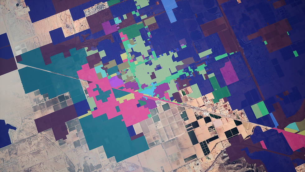
The Geopogo team can integrate civic data sets, including zoning, GIS, city services, and more, into your projects.

Planning and development
Leverage Geopogo's design tools for advanced urban planning. Create new road networks, highways, public transportation systems, and more with precision and ease.

BIM Integration
Integrate new and existing 3D BIM models of city-owned properties for seamless access, efficient planning, and impactful presentations.

bottom of page